Tesla Builds Proprietary Maps to Fix FSD Navigation Gaps
The automaker is developing an internal mapping system to address recurring issues with speed limits and parking for its self-driving software.
By Aever Bundji ·
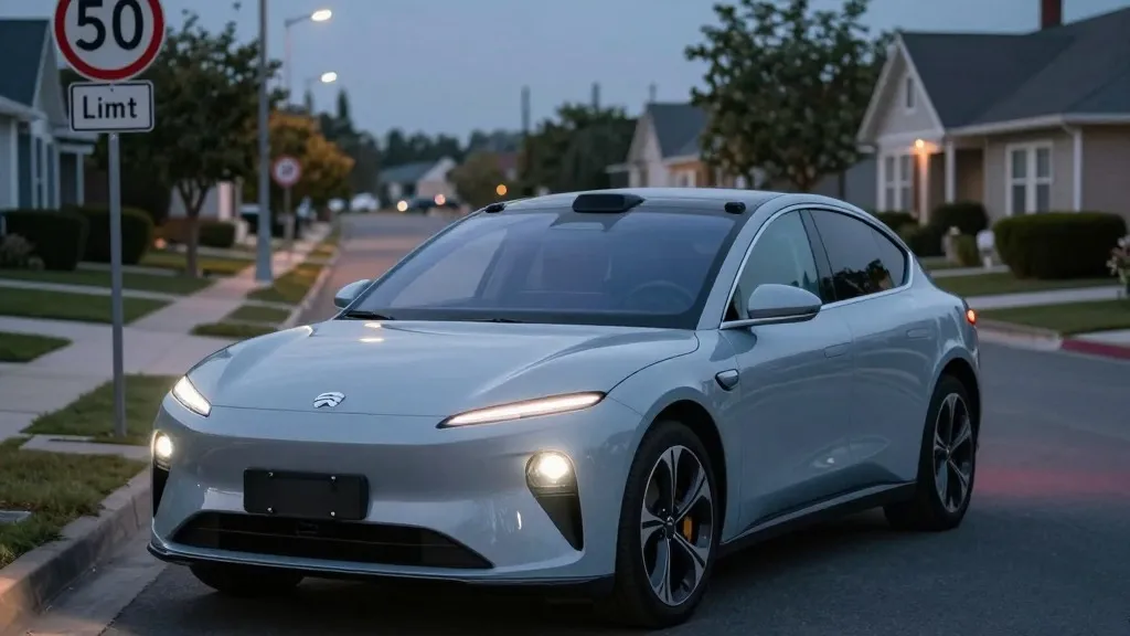
Drivers using Tesla’s Full Self-Driving system will soon see changes in how the vehicle handles routes, parking, and speed compliance. The company is developing its own map data to replace third-party navigation sources. This move aims to correct frequent errors where the car fails to read speed signs or identify appropriate parking spots. The shift marks a significant departure from previous company statements that dismissed the need for specialized mapping in autonomous driving.
Tesla’s VP of AI, Ashok Elluswamy, outlined the new strategy during the Q3 2026 earnings call. He confirmed that the company is constructing a new AI-based mapping and navigation architecture. This system will rely on data collected from the entire vehicle fleet. Elluswamy stated that Tesla should not depend on external providers for map data. The new technology will also learn individual driver preferences and respond to voice commands to improve the user experience.
The rollout of this new map layer will begin with FSD v15. Initially, it will manage the start and end points of trips. Over the following months, the system will expand its capabilities to handle full navigation, parking, and destination selection. This phased approach allows the technology to mature before taking over more complex driving tasks. The goal is to reduce the burden on the vision-based AI by providing it with accurate environmental data.
This development follows a long history of inconsistent messaging from Tesla. In 2019, CEO Elon Musk argued that high-precision maps made self-driving systems brittle. He famously called lidar a fool’s errand and suggested that vision alone could solve driving anywhere. However, the company is now building a map layer from its own fleet to fix specific problems that the vision system cannot reliably handle. This includes interpreting road signs and understanding local traffic patterns.
The need for better map data is supported by recent findings regarding FSD performance. A Belgian road safety group found that the system sped in 55% of 30 km/h zones in Brussels. The average speed was 44 km/h, often because the display showed an incorrect limit of 50 km/h. In the United States, the NHTSA is considering an investigation into claims that Tesla Robotaxis speed through active school zones. These vehicles include roughly 1,000 Model Y and Cybercab units. These incidents highlight the difficulty the current vision system has with basic road information.
Tesla’s new approach brings its strategy closer to that of Waymo. Both companies now use their vehicle fleets to collect data that feeds into a proprietary map. While Waymo uses lidar to create high-definition maps, Tesla is building a less defined but still critical map layer. This data helps every vehicle in the fleet drive more accurately. The company already operates its Robotaxi service in small geofenced areas, suggesting that the new map will become increasingly detailed over time. This evolution aligns with the reality that autonomous driving requires a deep understanding of the environment, not just camera input.
The shift indicates that Tesla is prioritizing reliability over its earlier ideological stance. By leveraging its large fleet to build maps, the company aims to give its AI a better foundation for decision-making. This could lead to fewer surprises for passengers and other drivers on the road. The integration of map data with vision processing represents a practical step forward in the company’s self-driving efforts.
Source: Electrek